Eagle Colorado
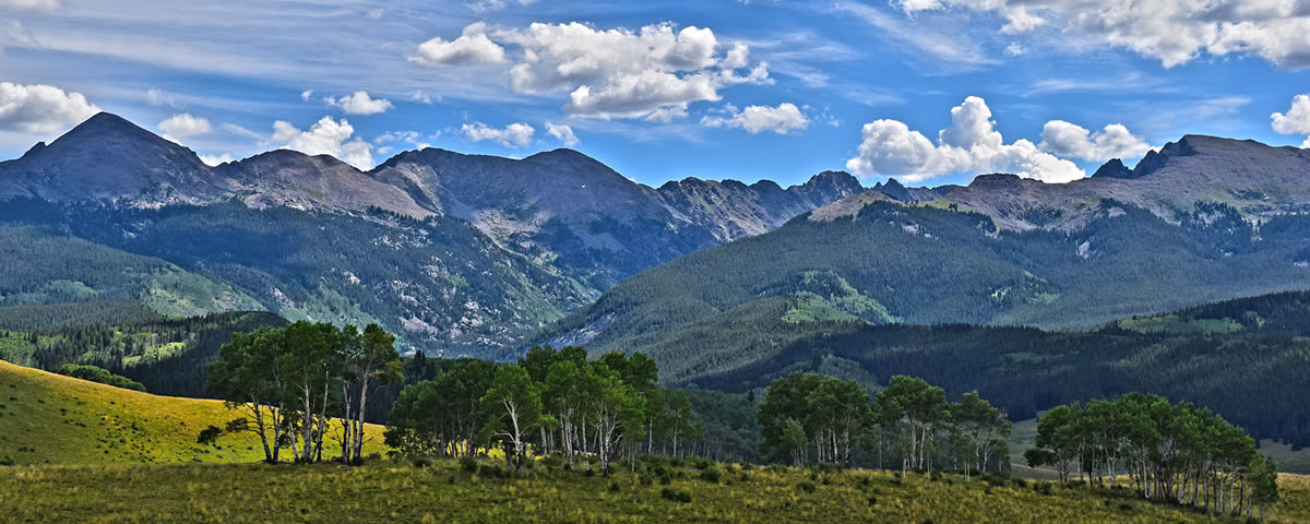
Eagle is a small town located on Colorado’s Western Slope. The elevation of Eagle is 6,600 ft above sea level. Eagle is 31 miles due west of Vail, CO and 30 miles due east of Glenwood Springs, CO.
I-70 runs right through Eagle making it a great stop for those heading to or from Fruita, Moab, Aspen… However, be warned. If you stop to ride, it might be hard to justify continuing west.
According to the town’s site the average summer day temperature is 73 degrees F and Winter is 34 degrees F. We get considerably less snow than our neighbors to the east and we are often referred to as the banana belt of the Vail Valley. As an example, mountain biking doesn’t get started in Vail until after all the snow has melted and the trails have dried. We are riding in Eagle by the end of March or first of April. However, many of the BLM trails outside of Eagle Ranch are closed to recreation until April 15th to allow the Elk to do their business in peace. Our Eagle Ranch trails are open from April 15th to Dec 15th. The Boneyard trail doesn’t have any closures, but does get covered with snow during the heavy snow months.
Annual Precipitation:
County Seat (Eagle) – 11 inches rain; 54 inches snow. Where as the Town of Vail – receives approximately 300 inches of snow a year.
Eagle County is made up of approximately 1,694 square miles and only 7.4 of those are water.
The Eagle River runs right through town and offers great fishing, rafting, and kayaking during the summer months.